Conformal Maps
If we take a globe and try to flatten it, we would find that it's very hard to do without drastically changing the surface that we are looking at.
To visualize this, let's imagine that we are walking from Las Vegas to Phoenix. In addition, imagine that to make this journey, we are going to draw our path so that we stop at the Grand Canyon as well. Now if we try to measure the distance that we'd have to walk, we'd have to measure the entire distance; this would include the distance to walk down the side of the Grand Canyon into the Colorado River Gorge and then back up to the other side. How could we accurately map out this distance?
If we were to flatten the United States so that we could measure this distance, we'd have to struggle to flatten the ridges of the Appalachian and Rocky Mountains and the deep valley that makes up the Grand Canyon. This problem has daunted cartographers (map-makers) for centuries.
We can see from this example that the distance between two points on a non-flat surface is a difficult property to maintain if we try to flatten it. Various attempts to do so over the centuries have given us a multitude of different maps of the world in which we live, each one emplying a different method for maintaining these distances.
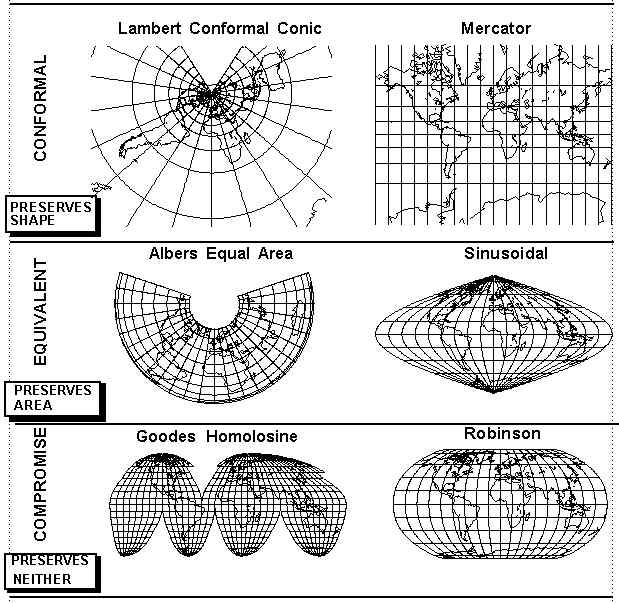
Maps that are able to maintain the distances between any two points on a surface are called conformal maps.